
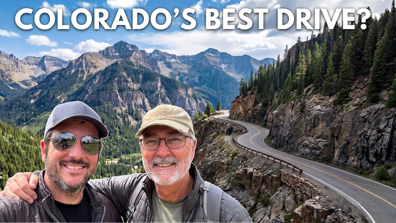
The guardrails disappear just a few miles south of Ouray, and for a stretch of three to four miles the road narrows until there are only a couple of feet between the asphalt and a sheer drop into the canyon below. That detail alone has made the Million Dollar Highway one of the most talked-about drives in America, and it raises a genuine question: is the reputation earned, or is it just good marketing? Traveling the full 25-mile route through the San Juan Mountains of Colorado with his father, the creator behind Through My Lens found that the answer sits somewhere between both, and that the road’s beauty is far less contested than its danger.
The trip began the evening before in Ouray, a compact mountain town whose nickname, the Switzerland of America, earns its keep the moment you look up from the main street. The following morning, the first stop was Box Canyon Falls, a short walk from town that costs $8 for adults and $7 for kids. A viewing platform lets visitors get close enough to feel the spray, and a staircase drops to the base of the gorge where the canyon walls close in on all sides. The waterfall runs 285 ft and was still running hard at the end of summer. The two of them spent about 30 minutes moving between the upper viewpoint and the canyon floor before heading back to the car.
Where the road earns its name
The drive south starts gently, with a pullout roughly a mile in offering the first clear look back at the town and the gorge that holds Box Canyon Falls. About three miles further, Bear Creek Falls drops around 200 ft into the canyon below the highway, and a small viewing platform extends out over open air directly above it. Then the guardrails end. The section that has generated so much online caution runs for three to four miles and was built without barriers intentionally, to make winter snowplowing easier. In practice, on a dry summer day with light traffic, the experience was more unsettling to read about in advance than to actually drive. His father, riding in the passenger seat, handled the exposure by not looking.
After the famous section, the road climbs through five steep switchbacks and opens onto a random pullout where a creek runs a vivid, almost unnatural yellow. ‘I think these mountains might be called the Red Mountains,’ his father offered, ‘because this creek is called the Red Mountain Creek. Never seen anything like it.’ The color comes from the iron-rich geology of the range, and the contrast between the rust-red slopes and the bright creek water below them is one of those roadside moments that stops a conversation mid-sentence.
Ghost towns, a gold mine, and 11,018 feet
About eight and a half miles in, a short four-wheel-drive detour leads to the Ironton town site, founded in 1883 and home to more than 1,000 residents at its peak. Over 100 buildings went up in the first year. The railroad arrived in 1889 and the mines ran until the 1930s. The last resident, Milton Larson, stayed until the 1960s. Walking the site alone among the decaying structures at nearly 10,000 ft, it is the kind of place that does not require a guided tour to feel its weight.
At the Red Mountain Overlook, roughly 12 miles into the drive, a historic marker notes that the Treasury Tunnel beneath the hillside contains nearly 100 miles of underground passages. The road crests at Red Mountain Pass at 11,018 ft, where gold ore wagons first crossed in 1878, then descends 1,700 ft into Silverton, a town that has sat at 9,318 ft since a profitable silver vein was found there in 1871.
After lunch at Dara Deli and Bar, where a French dip sandwich and a peach sandwich split between two people was the move, the drive continued alone out to the Old 100 Gold Mine, about four miles down a dirt road from town. The tour runs on a vintage electric-powered mine train that carries visitors 1,600 ft into the mountain, and the guide, a man named Trent, had spent more than 10 years working in local mines himself. His father and grandfather had mined the same area. Every tool he showed, he turned on. The mine itself was originally staked by three German brothers around 1872, eventually sold, driven to an elevation of 12,750 ft in a search for a profitable vein, and closed in 1970. It reopened as a tourist attraction 20 years later. Tours ran hourly from 9 a.m. to around 2 p.m. during the late summer visit, with no advance booking, and the group that day had only about eight people.
Trent, still in the mine somewhere in memory
The guide named Trent, whose grandfather worked the same mountain, switched on a drill in the dark and let the noise fill the tunnel while eight strangers leaned in to watch.
The day ended at the Christ of the Mines Shrine, erected in 1958 and 1959 on the hill above Silverton, looking out over a town that no longer mines but has not forgotten that it once did. The yellow creek, the vanishing guardrails, the ruined buildings at 10,000 ft: Ouray’s view from that first pullout a mile into the drive had promised all of it, and the road delivered.
 Wake up to Only Happy News!