The Grand Canyon is 270 miles long, 6,000 feet deep, and draws 5 million visitors a year – yet somewhere at the bottom of all that rock and distance sits a village of 28 people that most of those visitors never see. Travel creators Kara and Nate strapped on loaded packs and walked 10 miles straight down into the canyon to find out whether the Havasupai tribe’s permit-controlled corner of the world is worth the $455-per-person price tag and the years-long wait that usually comes with it.
Here’s how the trip broke down: the hike in, the village itself, a pair of waterfall descents that escalated well past casual sightseeing, and a final verdict on whether winter is actually the right time to make this trip.
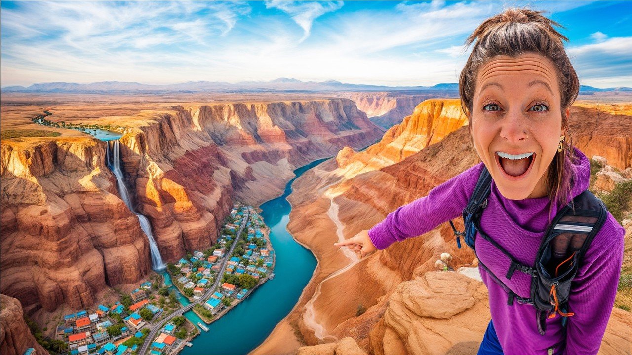
The Village at the Bottom of Everything
Supai Village holds the title of most remote settlement in the continental United States – a fact that snaps into focus after two hours of driving through empty Arizona desert just to reach the trailhead check-in. Permits are notoriously hard to pull for spring through fall, when summer temps in the canyon hit 115°F and crowds fill the campground. Kara and Nate grabbed theirs two days before departure, snagging a winter slot with no friction. The permit desk staffer told them roughly four people had checked in over the prior several days. In three weeks, she said, that number would jump to at least 100 per week.
The hike down took just under four hours – roughly 30-minute miles, starting with steep switchbacks cut into the canyon wall, then two miles through a dry riverbed, then another five miles of open canyon floor. At the five-mile mark, they had passed exactly five other people, three of whom were heading out.
The village itself runs a full mile from end to end. Schools, a church, a restaurant, a grocery store, a lodge for non-campers, and a post office – the most remote post office in the US – line the path through town. Power lines stretch all the way from the canyon rim down to the village floor. Six days a week, mule trains carry mail and supplies the full 10-mile route, staging out of a post office in Peach Tree, 75 miles away, which operates the only walk-in freezer of any US post office specifically to keep food cold before it loads onto the animals. Kara and Nate passed one of those mule trains mid-hike, each animal carrying a US Postal Service box on either side.
More than 20,000 people visit the area each year – none of them, really, for the village. They come for the water.
Havasu Falls, Mooney Falls, and a Descent Through a Hole in the Rock
The campground sits two miles past the village, and Kara and Nate reached it with just enough daylight left to drop packs and walk to Havasu Falls. The water is a shade of turquoise that reads more like a photo edit than a natural feature – a color produced by high limestone content in Havasu Creek. They swam alone. Nobody else was there.
Day two’s plan was the confluence hike – a 16.5-mile roundtrip route to where Havasu Creek meets the Colorado River, passing Mooney Falls and Beaver Falls along the way. Mooney turned out to dwarf Havasu in scale. Getting to its base requires locating a sign, then climbing through a literal hole in the rock face, descending two separate vertical shafts using iron chains bolted into wet, slick stone – no harness, no helmet, just the chains and careful footwork. Nate described it plainly: ‘if we were anywhere else, we would have helmets on, we would be wearing a harness.’ They were not wearing either.
Beaver Falls operates on a completely different register – water dropping no more than 10 feet at any single point, building instead into wide travertine terraces formed over years by lime-saturated water depositing minerals onto sticks and debris in the creek. The trail between falls is unmarked except for small pink ribbons tied to trees at irregular intervals, easy to miss, occasionally pointing in the direction that makes no intuitive sense.
The confluence itself never happened. A sign at roughly the six-mile mark put the destination still six miles out – with a posted warning not to start after 10:30 a.m. It was nearly 1:00 p.m. They turned back, got a swim in at Mooney Falls on the return, and climbed back up through the rock shafts before dark.
The full 10-mile exit hike the following morning took 5.5 hours.
The Bigger Picture
Havasupai has operated a permit system for decades, but that system creates an unusual dynamic: a Native-owned community of 28 residents anchors a destination that draws 20,000 annual visitors. Winter availability – permits snagged two days out versus a wait that can stretch years for peak season – suggests the crowd pressure is almost entirely seasonal. Off-season visits spread that economic activity into months the tribe’s tourism infrastructure would otherwise sit quiet. The tradeoff for visitors is real but minor: cooler water, fewer daylight hours, and the distinct advantage of having a turquoise waterfall entirely to yourself.
Kara and Nate left the canyon having paid $455 each, carried their own food and gear for three days, and swum alone in falls that draw shoulder-to-shoulder crowds in July. The permit that took two days to get in January can take two years to get in June – and the canyon at the bottom looks exactly the same either way.